El evento
Overview
General
Four stages, over 300 kilometers, and 5,000 meters of cumulative elevation gain.
A new route that explores uncharted areas of the province of Almería and has a much stronger mountain-biking vibe. Miles of mountain trails with stunning scenery, riding along the coast, and tackling historic climbs like Velefique.
The Škoda Titan Desert Almería will announce its final route in the coming weeks, but for now, here are some preliminary details.
Route
Etapa 4 - El toyo
A loop route that begins on flat terrain and heads toward the town of Turre. There, we begin to climb through the foothills of the Sierra de Cabrera, tackling two major ascents before heading back toward the sea down a technical trail that leads us right to the Mediterranean shore. From here, the route begins on a track and then follows a trail clinging to a cliff—a spectacular stretch with the sea always to our right.
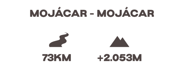
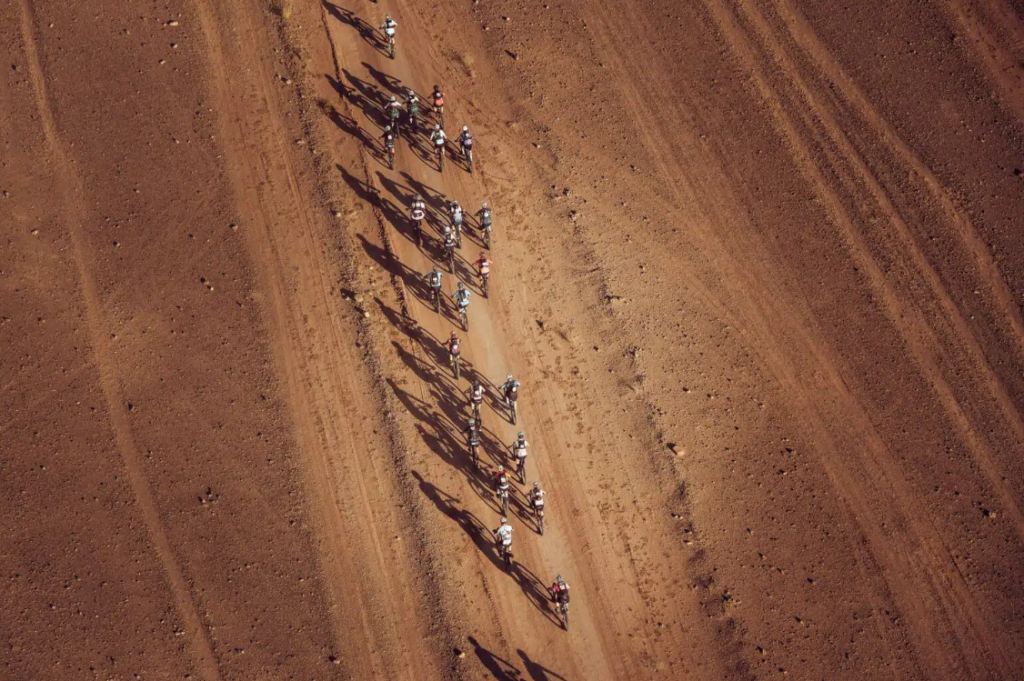
This stage begins with a fast stretch leading up to the climb toward Bedar, where, before reaching the town, we take a section of the greenway, passing through a tunnel from Los 3 Amigos Station and beginning a long climb that passes by a Buddhist temple, all within the Sierra de Cabrera.
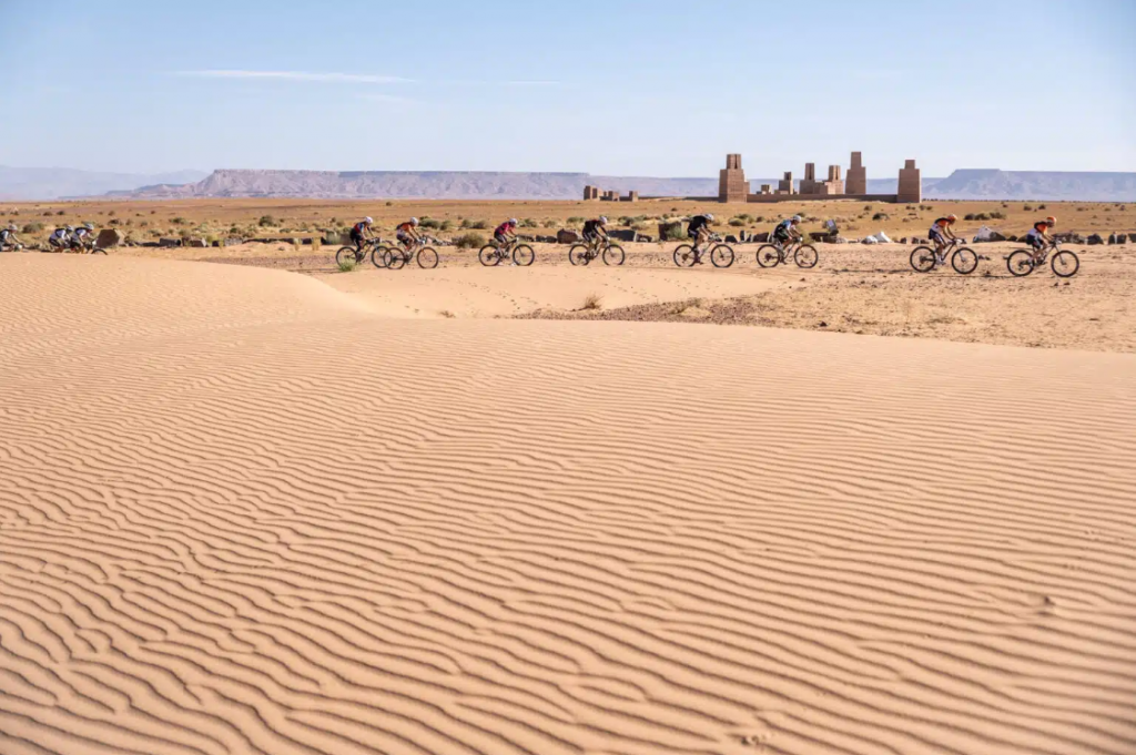
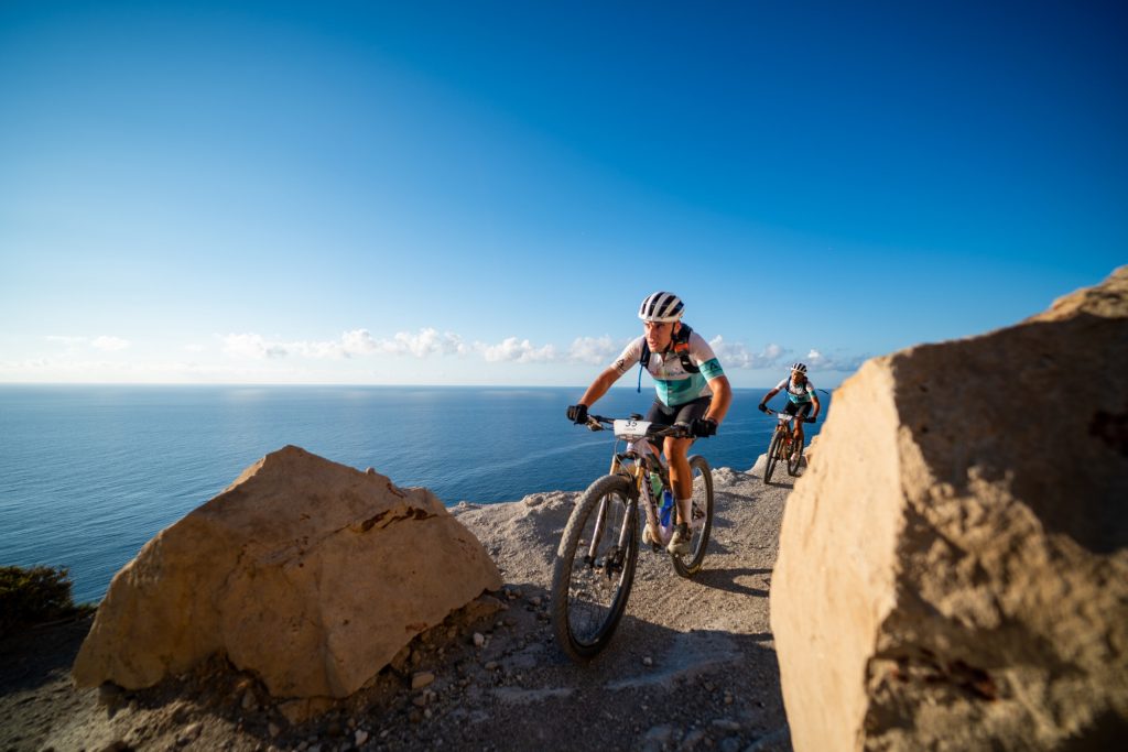
After reaching the summit, the route follows a ridge offering spectacular views of the sea. A long, technical descent then leads down to the town of El Chive. From there, a section takes us toward the Tabernas area along well-maintained trails winding through olive groves, eventually reaching the Almería Circuit. We enter the circuit and cover the final few kilometers uphill before arriving at its paddock.
A loop stage around Almería Circuit. After setting off from the circuit itself along fast trails and riverbeds, we tackle the steep climb up to Alto de Velefique, where the Škoda Challenge will take place—a long climb with an elevation gain of nearly 1,000 meters.
From the summit, there’s still a short uphill stretch before tackling a long, rocky, and somewhat technical descent. From the valley, we take the trails that will lead us back to the starting point of the loop.
On the way back to Mojácar, we start by leaving the circuit and riding through fields of solar panels along fast trails that gradually gain elevation as we approach the town of Sorbas. After a few kilometers on paved roads, we return to the trails with a descent through a quarry that takes us to the banks of the Aguas River. From there, either along very wide trails, a short stretch of trail, or through the Rambla del Rio Aguas, we reach the seashore where the stage ends.
Highlights
Of the route
TITULAR
Entre montañas, dunas y llanuras infinitas, la Škoda Titan Desert Marruecos recorre algunos de los paisajes más impresionantes del país.
TITULAR
Entre montañas, dunas y llanuras infinitas, la Škoda Titan Desert Marruecos recorre algunos de los paisajes más impresionantes del país.
TITULAR
Entre montañas, dunas y llanuras infinitas, la Škoda Titan Desert Marruecos recorre algunos de los paisajes más impresionantes del país.
TITULAR
Entre montañas, dunas y llanuras infinitas, la Škoda Titan Desert Marruecos recorre algunos de los paisajes más impresionantes del país.
FAQs
¿Qué tipo de terrenos me voy a encontrar en cada etapa?
La carrera combina diferentes tipos de terrenos. En su mayoría son pistas en buen estado. Existe algún tramo de terreno blando en el paso por alguna rambla y algún tramo de sendero.
¿El recorrido cambia cada año?
Sí. Aunque mantiene los grandes escenarios el diseño del recorrido varía cada edición para ofrecer nuevas experiencias, mejorar la seguridad y adaptarse a las condiciones del entorno.
¿Puedo ver los tracks del recorrido antes de la carrera?
Sí, pero solo cuando están validados al 100%. Se publican dos semanas antes del inicio del evento, tras los últimos reconocimientos y ajustes. La organización avisa a los participantes en cuanto están disponibles.
¿Las etapas están completamente marcadas o solo seguimos track?
La navegación se hace exclusivamente por track. Aunque puede haber referencias puntuales por motivos de seguridad, la normativa obliga a seguir el track oficial con el GPS.
¿Hay avituallamientos durante el recorrido?
Sí. Cada etapa cuenta con avituallamientos oficiales, con agua y alimentos sólidos. La ubicación exacta se comunica en la ficha de etapa y en el briefing diario pero por norma general estos están situados a menos de 40 kilómetros de distancia.
¿Qué bicicleta es la más adecuada para este recorrido?
Lo ideal es una MTB, aconsejando una doble suspensión para mayor comodidad.La bicicleta de gravel está permitida pero no es la ideal para este tipo de recorrido.
¿Se permite participar con e-bike?
No en la categoría general. Solo se permite dentro del programa ebike
¿Existen tiempos de corte?
Pueden haber algunas etapas donde se establezcan tiempos de corte para mejorar la seguridad de los participantes. Estos se comunicarán en el briefing previo a la etapa.
¿Hay transfers para corredores entre campamento y salida?
Sí. Cuando una etapa no empieza o termina en el hotel, la organización habilita transfers oficiales.